UK Habitat Classification Training
UKHab Ltd offers a range of online and field-based training courses on the UK Habitat Classification and related subjects such as Biodiversity Net Gain. Courses are arranged at Beginners, Intermediate and Advanced levels to be suitable for participants with varying levels of experience or to follow as a sequence.
Online courses are presented live by experienced trainers, normally over two successive mornings. Field courses are a single full day with some or all of the day in the field. Numbers are restricted to 12-15 people per course.
All of our courses use UKHab Version 2.0 and the Statutory Biodiversity Metric.
New courses are added to this page from time to time. Please return to this page regularly to see updates. Our winter 2024-25 training programme is published below.
Please download the latest booking form below, complete and return it to book a training place.
An online webinar training course delivered by the Wildwood Trust. Further information and booking.
The course introduces habitat surveyors and ecologists to the UKHab interface with Biodiversity Net Gain, with specific reference to UK Good Practice Guidance and the Statutory Biodiversity Metric. The course focuses on baseline survey data collection and BNG baseline credit calculations and explores other aspects of the BNG process in relation to development.
The UKHab hierarchical structure and secondary coding is described. The UKHab use of combined codes for robust biodiversity assessment is explored. Attendees are asked to do some simple identification and mapping of high biodiversity value sites using the coding system. Examples of Protected Area maps are shown with suggested typology. The uses of UKHab in nature conservation practice are discussed.
The UKHab Version 2.0 (2023) hierarchical structure and secondary codes is described in detail, including new codes. Mapping protocols including use of polygon, line and point features are explained. Attendees are asked to do some simple identification and mapping on screen using the coding system and field key. UKHab applications in ecological practice (such as being the basis of Biodiversity Net Gain) are discussed.
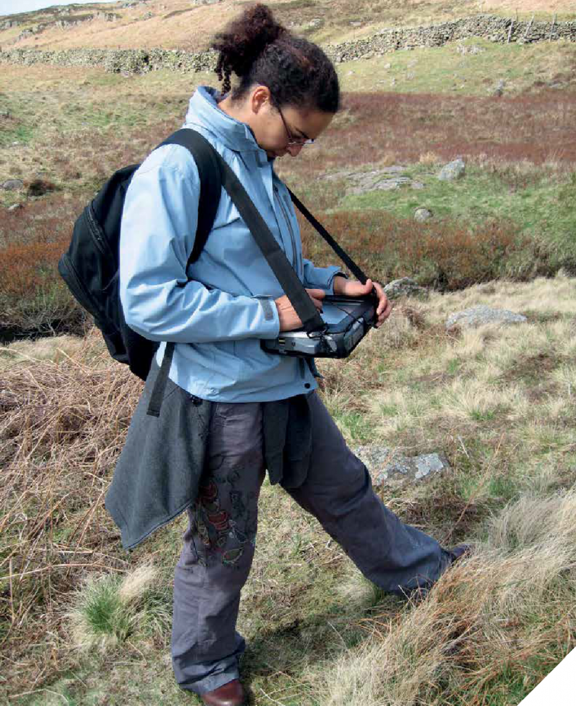
This course is predominantly aimed at individuals with little or no experience of recording habitats. It has been designed for students or those who have just qualified. The ability to recognise at least some common plants, trees and shrubs will be assumed.
The requirements of habitat mapping in the field, such as the allocation of a single identified habitat to an area or linear feature, will be explained. The need for rigour and the approach to deciding boundaries between habitats will be covered. Examples of UKHab maps in different landscapes will be shown and discussed.
The UKHab Version 2.0 (2023) hierarchical structure and secondary codes is described in detail, including new codes. Mapping protocols including use of polygon, line and point features are explained. Attendees are asked to do some simple identification and mapping on screen using the coding system and field key. UKHab applications in ecological practice (such as being the basis of Biodiversity Net Gain) are discussed.
The course introduces habitat surveyors and ecologists to the UKHab interface with Biodiversity Net Gain, with specific reference to UK Good Practice Guidance and the Statutory Biodiversity Metric. The course focuses on baseline survey data collection and BNG baseline credit calculations and explores other aspects of the BNG process in relation to development.
This course is for practitioners who have completed the UKHab Intermediate training courses and wish to extend their knowledge of the range of UKHab habitats, the habitat types used in the Statutory Biodiversity Metric and the relationship between the systems. The course gives the opportunity to explore the nuances of habitat identification and mapping in more detail than on other UKHab courses.
UKHab Version 2.0 and Biodiversity Metric 4.0 are described with focus on updates from earlier versions. The relationship between Metric 4.0 condition assessment criteria and UKHab 2.0 is explained. The application and interpretation of Metric 4.0 condition assessment criteria in the field and calculation of condition outcome scores for a range of terrestrial habitats is covered.
This course is predominantly aimed at individuals with little or no experience of recording habitats. It has been designed for students or those who have just qualified. The ability to recognise at least some common plants, trees and shrubs will be assumed.
The UKHab Version 2.0 (2023) hierarchical structure and secondary codes is described in detail, including new codes. Mapping protocols including use of polygon, line and point features are explained. Attendees are asked to do some simple identification and mapping on screen using the coding system and field key. UKHab applications in ecological practice (such as being the basis of Biodiversity Net Gain) are discussed.
This course will explore standards in place for UKHab data and mapping, how to use and apply them and how to interpret incoming data and maps.
The course introduces habitat surveyors and ecologists to the UKHab interface with Biodiversity Net Gain, with specific reference to UK Good Practice Guidance and the Statutory Biodiversity Metric. The course focuses on baseline survey data collection and BNG baseline credit calculations and explores other aspects of the BNG process in relation to development.
The requirements of habitat mapping in the field, such as the allocation of a single identified habitat to an area or linear feature, will be explained. The need for rigour and the approach to deciding boundaries between habitats will be covered. Examples of UKHab maps in different landscapes will be shown and discussed.